Difference between revisions of "Category: Subsurface"
From wiki.pengtools.com
| Line 24: | Line 24: | ||
==Plots== | ==Plots== | ||
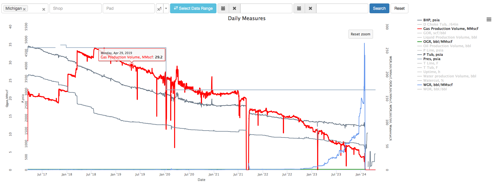
*Well trends and tables (Ps, qs, fluid levels, wcuts, etc) | *Well trends and tables (Ps, qs, fluid levels, wcuts, etc) | ||
| − | *Bubble maps | + | [[File: WellTrends.png]] |
| + | *[[Bubble maps]] | ||
[[Category:E&P Portal]] | [[Category:E&P Portal]] | ||
Revision as of 12:48, 26 December 2017
Contents
Subsurface
Subsurface is E&P Portal module which collects, stores, organizes and visualizes essential E&P Data.
Subsurface module provides fit for purpose E&P database with associated workflows to handle E&P data flow and perform analysis required.
Inputs
- Countries, Fields, Operators, Pads
- Wells XY
- Deviation Surveys
- Perforations
- Well Logs Interpretations
- Fracs
- Static and Flowing Pressures
- Well Tests
- Laboratory and PVT data
- Well Files
- Wells Bottomhole Tags
Plots
- Well trends and tables (Ps, qs, fluid levels, wcuts, etc)
Pages in category "Subsurface"
The following 6 pages are in this category, out of 6 total.


